
Work Smarter
Save staff time and reduce errors with accurate, ready-to-use field data

Boost Confidence
Improve data quality and confidence for modeling and compliance
Streamline Updates
Eliminate rework by ensuring field updates flow directly into analytics
Designed For
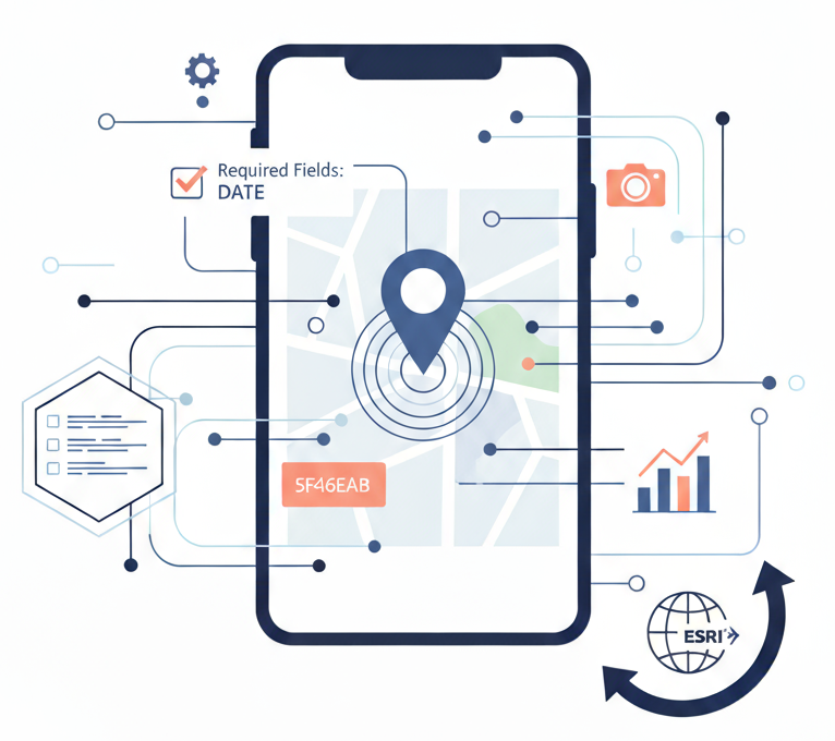
Systems that want reliable leak/break/repair records and faster field data collection and accurate pipe failure reporting.

Implementation
Start with one high-value form (e.g., leak investigations), then standardize and scale.

Field Data Collection Setup
2–3 weeks